Studio brief
The unit focus is centered on the link between city, food and productive landscapes. A growing or developing city’s infrastructure is particularly reliant on the supply of many inputs (food, water), coupled with an enormous volume of output systems, with considerable externalities. As a consequence, urban growth may have lasting challenges where large and complex systems are invisible and widespread. However, growing cities also leave behind fragmented and unused spaces that often lie neglected and are underutilized. We can harness these spaces to generate productive capacity or create new forms of development that reduce the reliance on city-level networks.
In its definition, the studio defines ‘productive’ as a system of landscape development based on an ecologically conscious approach that integrates food production, biodiversity and sustainable land use within the fabric of the city. A productive systemic design can reconnect city dwellers with natural processes while enhancing the role open public spaces can play in the functioning of cities.
So, to generate innovative ideas, the studio invites students to reimagine leftover networks of spaces/ public areas in Gandhinagar city through a productive lens. It provides students with an opportunity to learn about landscape aesthetics, planting palettes, phasing, and so on, to then translate ideas into cohesive and resolved plans.
Studio structure
The studio is structured in 3 modules. The first module builts an understanding of the site, of what productive landscapes mean, and each student developes a strategy along with a framework at XL scale. The second module is a practical exploration that locates and represents the strategy through plan, section and detail axonometric view on one of the chosen sites, and lastly, the third module constructs clear architectural drawings, views, policies and landscape details to complete the project.
Module 1: Cultivate: XL scale (3 weeks)
Starting with the first module, it looks at the city as a system. Each student has to produce a strategy map at XL scale that looks at network, landscape or city corridors to meaningfully connect the site to the rest of the city. The idea is to be mindful that the final solution is not atomistic but weaved within the city fabric.
With the first module, there were two main components:
1. Understand and investigate the meaning of “productivity” beyond food in the public realm through readings and case-studies
2. Each student had to produce a vision map at XL or city scale in context to the site and narrate it through a plan and a catalogue.
Module 2: Propagate: L,M scale (5 weeks)
In the second module, students develop an intervention in their chosen site, keeping the larger idea intact that they ideated at XL scale. The process involves getting acquainted with the site and its spatial dimensions, while simultaneously developing a radical idea to support productive infill. In order to make pertinent decisions, students works through iterations at two different scales to achieve structural and ecological connectivity.
The three main components were:
1. Develop a design brief based on the productive landscape theme.
2. Position the productive theme as a conceptual design on the chosen site
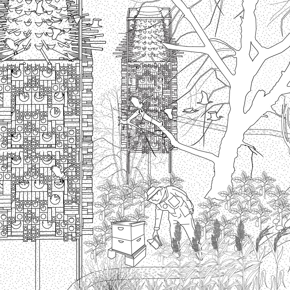
3. Develop a design with a set of drawings- plan, sections, elevations and detailed axonometric maps (in proper scale and dimensions) to communicate the strategy and project. The more technically resolved the drawing, the more persuasive will be the design proposition.
Module 3: Demonstrate: S, XS scale
In the last and third module, students have to resolve their designs at a smaller scale. And, depending on the project they are required to produce either a detailed planting palette or a phasing strategy to show how their project will materialise and transform over time. They also have to be mindful of synthesising their entire proposal where processes at various scales (XL, L, M, S, XS) come coherently together. Finally, the visualisation has to communicate the complexity of the project through clear graphics and show the entire scheme convincingly with well-organised sheet compositions.
This module involved 3 components:
1. Develop and formulate a detailed planting palette that demonstrates the seasonal quality of space.
2. Synthesize a conceptual policy framework for implementation, and evaluate it through phasing strategies
3. Construct detailed drawings across all domains (architecture/landscape/policy) depending on the type of project to communicate the design with clarity.
Site
The studio takes the city of Gandhinagar as a lab to test out the principles of ecological intensification and urban agriculture. Often dubbed as one of the greenest cities in India, Gandhinagar comes with plenty of urban parks and neighbourhood gardens but also large percentage of vacant and unused public lands.
Within Gandhinagar the studio choses 3 sites:
A residential / commercial sector (makes up the bulk fabric of the city) – as living/ working spaces where the students will have to imagine an everyday landscape with productive uses incorporated in the grain. They also have the liberty to completely re-imagine a few sectors.
The central vista (becomes a new identity of the city for medium scale landscape) will emerge as a new vibrant public space that embraces productivity in all aspects – celebrating food with growing, harvesting, and feeding. This might be visualized as a one-stop destination for locals and tourists to immerse in a food scene in the heart of the city life.
The riverfront park patch (the new destination for large scale landscape) might be visualized as a ground for large radical strategies like growing grain crops, aquaculture, enhancement of riparian ecological zone, promoting biodiversity and architecture for innovative research and development, etc.


